Published by Jeremy. Last Updated on November 21, 2024.
Disclaimer: Our site uses demographic data, email opt-ins, display advertising, and affiliate links. Please check out our Terms and Conditions. Pricing, operating hours, or menus may have changed since our initial visit and may not be reflected in subsequent updates. Please confirm these directly with any business or attraction prior to visiting.
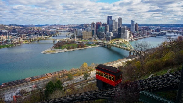
The West Penn Trail is a 17-mile partially converted rail-trail that is located about an hour east of Pittsburgh and connects the boroughs of Saltsburg and Blairsville.
If you've read our biking in Pittsburgh guide, Saltsburg may sound familiar as this is also the terminus for the Westmoreland Heritage Trail where it intersects with the West Penn Trail (and, in fact, biking that trail to the end was the only reason we discovered the West Penn Trail at all).
Naturally, only a few weeks later we loaded our bikes onto our car, drove out to Saltsburg, and tackled nearly all of this one. After finishing, we have to admit, we're not sure we'd do this one again- on our bikes at least.
🗺️ Planning a Trip to Pittsburgh?
Book your trip early to snag a deal and have a great time!
🏨 Top-Rated Hotels in Pittsburgh
- Great Value: Drury Plaza offers excellent prices downtown.
- Good Views: Sheraton Station Square features stellar views from river-view rooms.
- Free Parking: Hampton Inn Strip District includes free parking and a great location.
🏡 Looking for an apartment rental? Find a deal on Airbnb!
What You Can See on the West Penn Trail

In our minds, the West Penn Trail can be broken up into three distinct sections. There is a three-mile stretch from Saltsburg, a five-mile stretch from Blairsville, and a five-mile stretch in the middle near the Conemaugh Dam. (The remaining few miles extend beyond Saltsburg in the other direction, but the trail condition in the city was poor and we did not tackle those.)
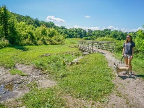
On the two ends of the trail, you can expect some pretty views of the Conemaugh River. On the Saltsburg side, the trail runs parallel to the river and you can get fleeting glimpses while on the trail. On the Blairsville side, the river becomes much more serpentine and you end up crossing it no fewer than five times in roughly five miles. Naturally, we enjoyed the Blairsville side just a bit more for this reason.

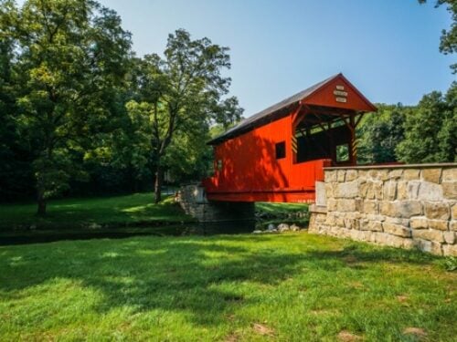
The middle section is where things get interesting as you are literally biking up and over a few hills which offer more secluded forest views (and a challenging bike ride associated- but more on that later). In the middle of this section, you pass through the Conemaugh Lake National Recreation Area, home to Conemaugh Dam, which is an absolutely stunning piece of civil engineering.
As you move south from the dam, you go through some pretty intense switchbacks that also have a really beautiful vista of the bridges and, subsequently, the dam again.

While these views are quite pretty and rather unique for bike trails in the region, we are hesitant on recommending biking the entire stretch as it is, in a word, difficult.
Hiking and Biking Tips for the West Penn Trail

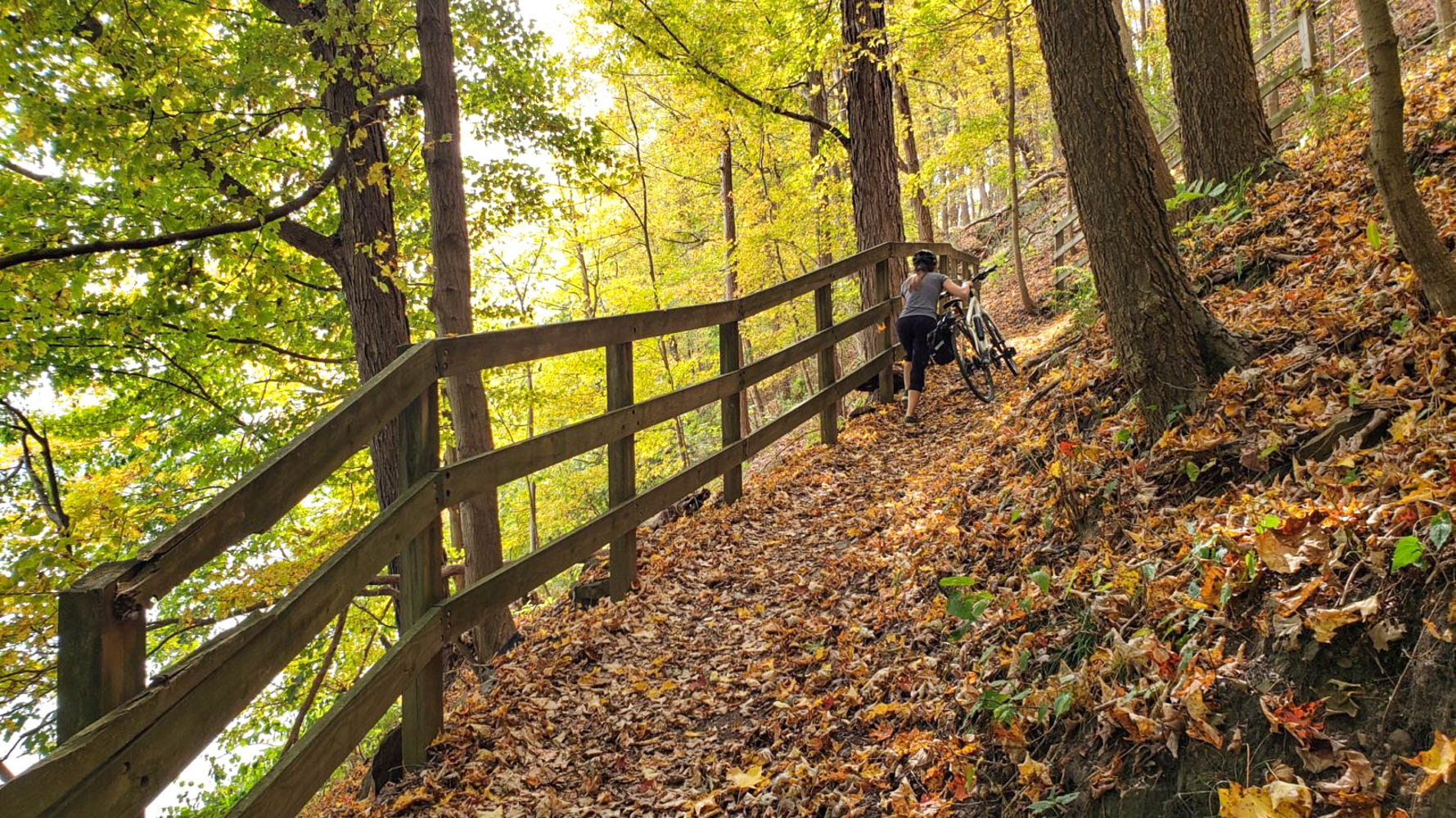
One of the biggest problems we had with the West Penn Trail is that the 13-mile stretch we rode on was not very well maintained. In fact, we'd go further in saying that over the course of the ride we encountered just about every trail condition we've seen to date- crushed limestone, large gravel, fine gravel (so fine that traction was difficult), tree roots, big rocks, potholes, paved stretches, and more.
Even on the flat sections of the trail, this presented a challenge and ensured we had to pay attention to the path at all times.
The biggest concern most bikers will have is that the middle five miles of the trail is not a rail-trail and, as mentioned above, goes up and over a few hills. This means there are some rather steep grades, including a stretch where a sign directs bikers to dismount and walk their bikes. Couple that with the rough terrain mentioned above, and we personally think this stretch is much better suited to those with mountain bikes than those who may go on an outing with a road bike or hybrid (like we have).

To put it bluntly, I lost track of the number of times we got off our bikes and walked them in this stretch, but it was probably pushing ten or so if I had to guess. Thankfully, the trail has incredibly prominent signs on both ends when the split off the rail trail section happens, and if this sounds daunting to you it is easy to simply turn around.
As such, we think this trail is best pursued in sections. If you are looking to bike, we highly recommend starting in Blairsville and biking the ~5-miles one-way until the point where the rail-trail segment ends (you'll know it when you get there). After, you would do well to take the 20-minute drive to the Conemaugh Dam to explore some as well (either by a short ~1-2 mile bike ride or walking). This would help give most of the West Penn Trail experience without having the difficult biking stretches.

Likewise, this setup could be easily tackled by walkers as well as you could fairly quickly walk 2-3 miles round trip starting from Blairsville, see one or two of the Conemaugh River crossings, and then take a drive over to the dam to continue your day as well. Perhaps not the most ideal hike in the area, but one that would still let you see the highlights of this one all the same.
Overall, while the West Penn Trail has some unique and beautiful scenery, biking on it (especially in the middle section) is a challenge that only those who are most versed in mountain biking may truly feel comfortable with. You can get around this with a shortened itinerary as discussed above, but that may not be enough to justify an hour's drive from the city for most. As such, your mileage may vary here.
The West Penn Trail connects Saltsburg to Blairsville, PA. If parking in Saltsburg, we recommend starting near where the trail links up with the Westmoreland Heritage Trail for better conditions. A parking lot exists at the Blairsville end as well. As mentioned previously, the stretch in the middle has signs on both sides to denote when the proper rail-trail segments end.
The Pittsburgh Guidebook is Now Available

Our first book, The Pittsburgh Guidebook: 175 Things to Do in Pittsburgh, is on sale now!
Grab a print copy from online retailers Amazon, Barnes & Noble, or Bookshop.org. Digital downloads and local distribution information can be found on our book's website.
Thank you for supporting independent media!
Pittsburgh Discounts and Promotions
In the mood for a sale? Or perhaps you simply want to try out something new? Check out our latest Pittsburgh promotions below!

🍎 $40 Off your first box from Harvie

🖼️ 15% Off Carnegie Museums membership — code MEMDisctheBurgh15

🏨 Up to 15% Off at The Oaklander
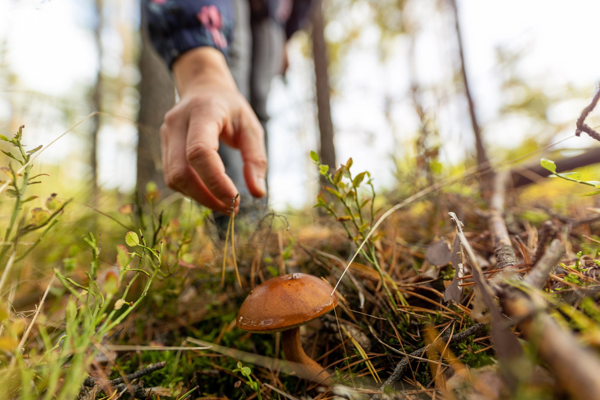
🌿 20% Off foraging classes at Wyld Forest
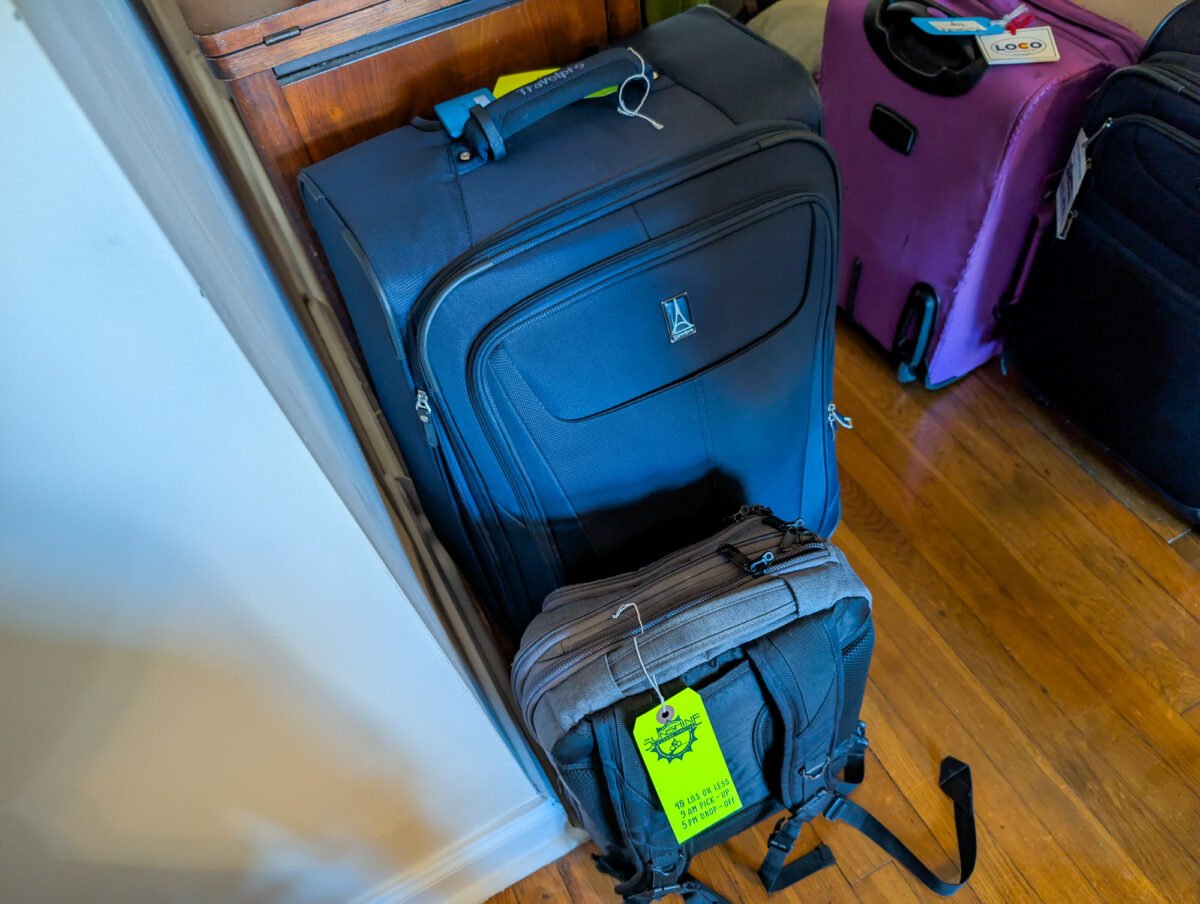
🧳 $20 off 4-day luggage transfer on the GAP and $30 off 8-day transfer on the GAP & C&O with Sunshine Luggage Shuttle — mention Discover the Burgh when inquiring.
🏛️ $25 Off Airbnb Experiences in Pittsburgh using code SPRING25 (all caps) now through June 30th- valid on a single booking, other terms apply!
Are you a local business that would like featured? Click here!