Published by Jeremy. Last Updated on August 4, 2022.
Disclaimer: Our site uses demographic data, email opt-ins, display advertising, and affiliate links. Please check out our Terms and Conditions. Pricing, operating hours, or menus may have changed since our initial visit and may not be reflected in subsequent updates. Please confirm these directly with any business or attraction prior to visiting.
At 3,213 feet, Mount Davis is recognized as the highest point in Pennsylvania. And at just under two hours driving from Pittsburgh, it is an easy day trip to check off this spot from your Pennsylvania bucket list.
But while Mount Davis' claim to fame is its elevation, I have to admit, visting this one may not be exactly what you are envisioning.
What You Can See at Mount Davis

Generally, when thinking of the tallest points in a state spoken in tandem with the word “mount”, you may think of a pronounced elevated viewpoint with a sweeping vista. At Mount Davis, you only get part of this.
The reason for this is mostly due to the geography of southwest Pennsylvania. Our mountains are more rolling hills, and this is especially true in the Laurel Highlands where Mount Davis can be found. There is no pronounced monolith here, and in fact when you approach Mount Davis odds are good you won't even know which hill it is even if it is visible on the horizon from your approach- it doesn't appear that much taller than others nearby.

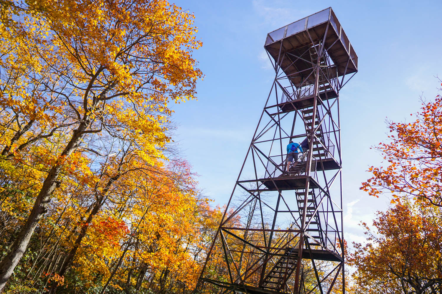
After you get out of your car, the true highest spot is nestled within the trees and home to a ~50-foot tower that you must climb in order to get the sweeping vista you may have expected. After you climb the rusty stairs, you get a pretty impeccable view of the beautiful Laurel Highlands all the same (it is also worth noting that peak fall color can be a few days earlier here than the rest of the highlands due to the elevation).
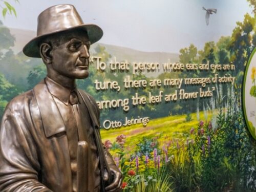
I prefaced this one as such if only because Mount Davis, on its own, doesn't have as big of draw to it as opposed to other parks in the area. After your brief climb up the tower for the view, you can walk a few steps to check out some markers displaying information about the area, its history, and flora/fauna that can be found there.

After, there are a few trails worth exploring that start from the lookout point, as well as Baughman Rocks which can be experienced at the end of the High Point Trail or by driving to its own dedicated parking area just across from the main entrance to Mount Davis.
These rocks are named after the Baughman's where, as the story goes, the father became upset at his son when searching for lost cows, hit him in the head with a stick, and knocked him unconscious. As he thought his son was dead, he hid his body within the rocks, but when they later returned they could not find his body and to this day no one knows what happened to the son (the father was later sentenced to prison for second-degree murder). Whether you hike or drive over to this one, it is also worth a quick stop.

While in the area, you may also want to consider a drive to the High Point Lake Overlook as well for some stellar views (the latter being a bit closer) or, if you're like us, simply drive around the region as the journey to reach Mount Davis is almost more beautiful than the views you have at the park itself!
Hiking at Mount Davis

When exploring Mount Davis, you'll quickly find that most of the star attractions are located just steps away from the main parking area. This is also true for Baughman's Rocks which is just a few feet away from its own (much smaller) parking area just a few hundred feet from the Mount Davis picnic area.
As such, you don't necessarily need to hike properly here to see the highlights. That being said, the grounds are home to a few trails that either loop around the park or offer an out-and-back hiking opportunity on the order of roughly one mile each. While I partially hiked just a few of these, I found the paths to be fairly wide but there were some segments where a not-insignificant number of rocks were present such that you have to pay attention to your footing ever-so-slightly.

So while you may be able to walk around Mount Davis a bit, it is best to go into this one expecting most of the highlights to be accessed relatively quickly after you arrive. If you want more hiking, a stop at Laurel Hill State Park or another spot on the drive back to Pittsburgh could be a good combination to make a full day out.
Mount Davis is located near Elk Lik Township in Somerset County, roughly two hours southeast of Pittsburgh. It is part of Forbes State Forest.


The tower is 40 feet tall. Glad you liked Mt. Davis. It was named after my great-great grandfather.